Instant San Francisco
The game
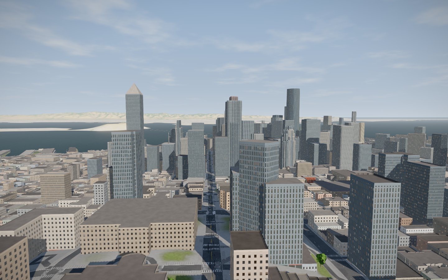
Part game, part model city. Instant San Francisco is a 3D version of the city built from open data, where you ride around, race three rivals over the hills, beat the clock on missions or sit back for a guided tour.
So what is it?
A game
Race three rivals with fortune-cookie power-ups, run five timed missions, or just pick a ride and a colour and go.
A model city
Built from open data, not drawn by hand: the buildings, streets, parks, piers and trees are where the map says they are.
A virtual tour
Thirteen stops from a foggy dawn at the Golden Gate to night over the skyline. Let it play, or step through it yourself.
An experiment
How far can a browser go? A whole city, cinematic lighting and fog, in a web page with no plugins.
Modes
The same four tabs you see on the start screen.
Explore
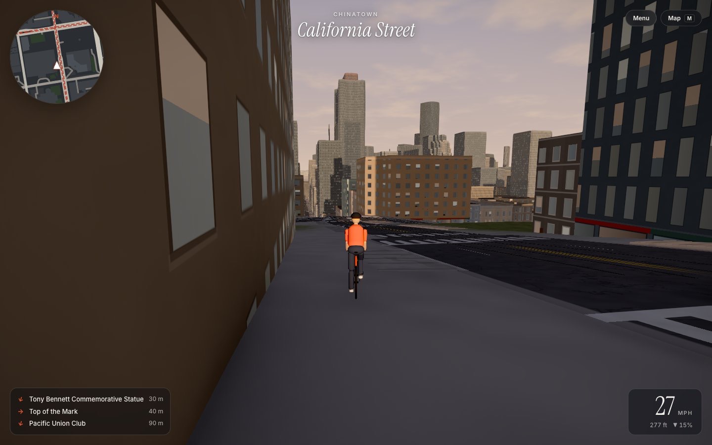
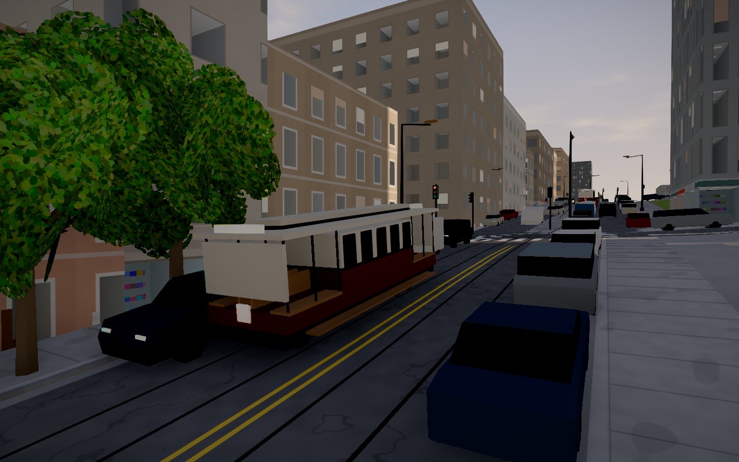
Free roam. Ride anywhere between the Ferry Building, the Marina and the Presidio, with street and sight names popping up as you pass. Hop on a cable car, or open the map and teleport.
Race
Four courses on real streets against three rivals, with Mario Kart-style items from floating fortune cookies. No map: learn the hills.
Missions
Five jobs against the clock, from catching a runaway sea lion to the last cable car of the night. An arrow points the way; the map stays shut.
Tour
A cinematic glide past thirteen sights while the day runs from dawn to night. Automatic, or interactive at your own pace.
Race
Races
The course follows the shortest bike route between its checkpoints, and you race three rivals. Ride through floating fortune cookies to pick up items, carry up to three, and fire them with F.
- SeagullFlies to the rider just ahead and steals their snack. They wobble and slow down.
- Sourdough loafDropped behind you. Whoever rides over it spins out, unless they jump to clear it.
- Karl the FogA fog bank smothers whoever is leading. Slow, and they can’t see a thing.
- Cable car boostA burst of speed, as if you’d grabbed the cable.
Missions
Missions
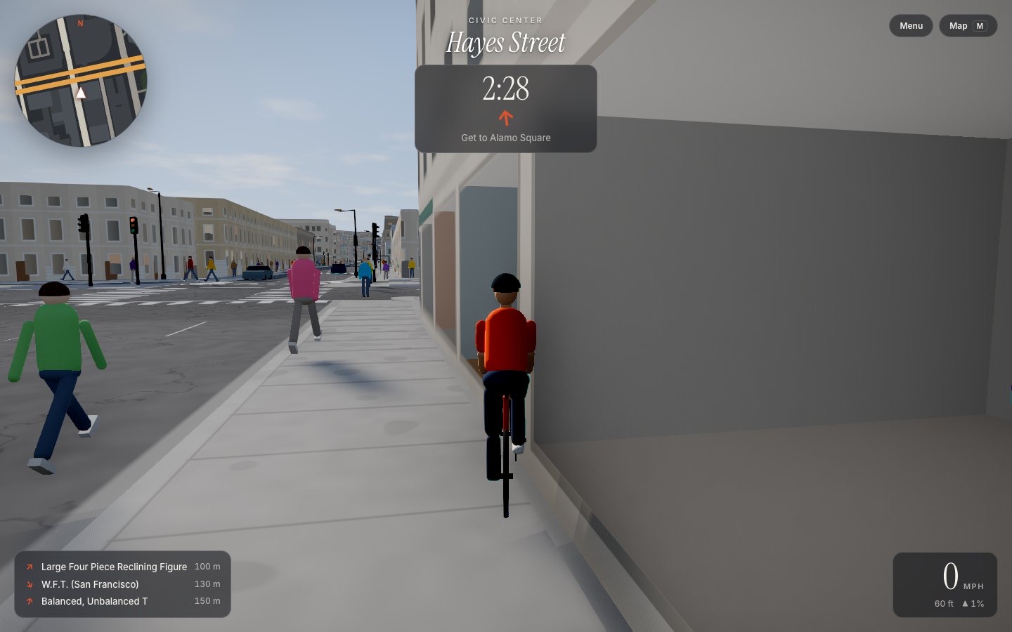
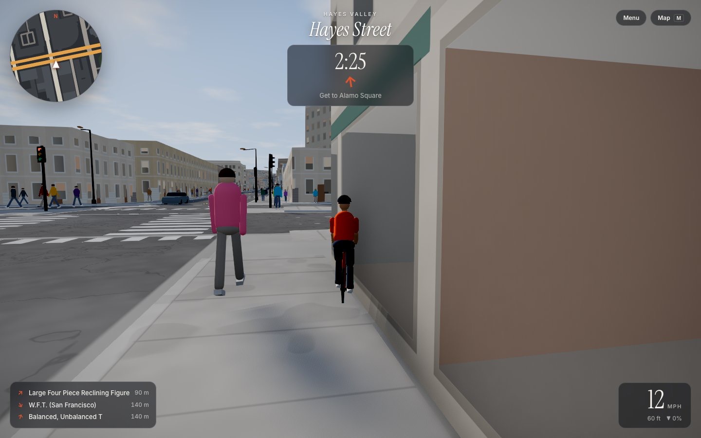
Timed jobs around the city. A light beam marks the target and an arrow under the timer points the way. The city map stays closed, so there’s no teleporting out of trouble.
Virtual tour
The tour
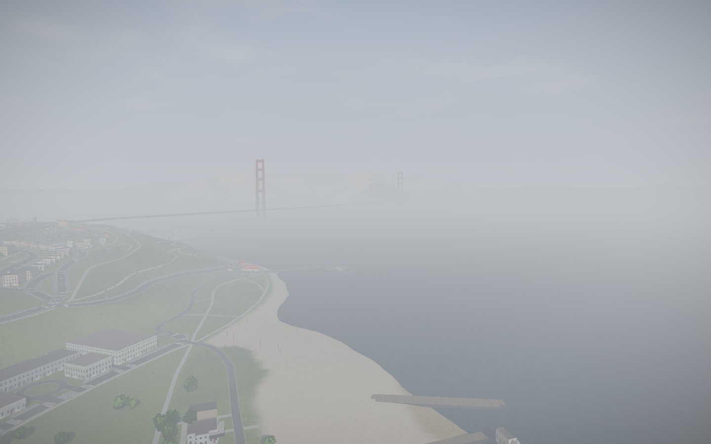
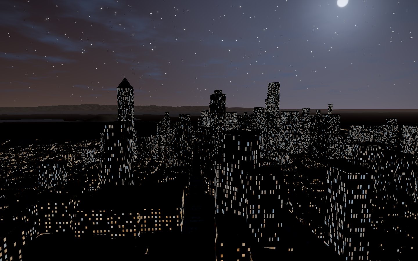
The camera glides between thirteen sights, rising over the rooftops between stops and settling into a slow orbit at each, while the day runs from a foggy dawn at the Golden Gate to night over the skyline.
Interactive: press Space or → to move on to the next stop.
Four ways to get around
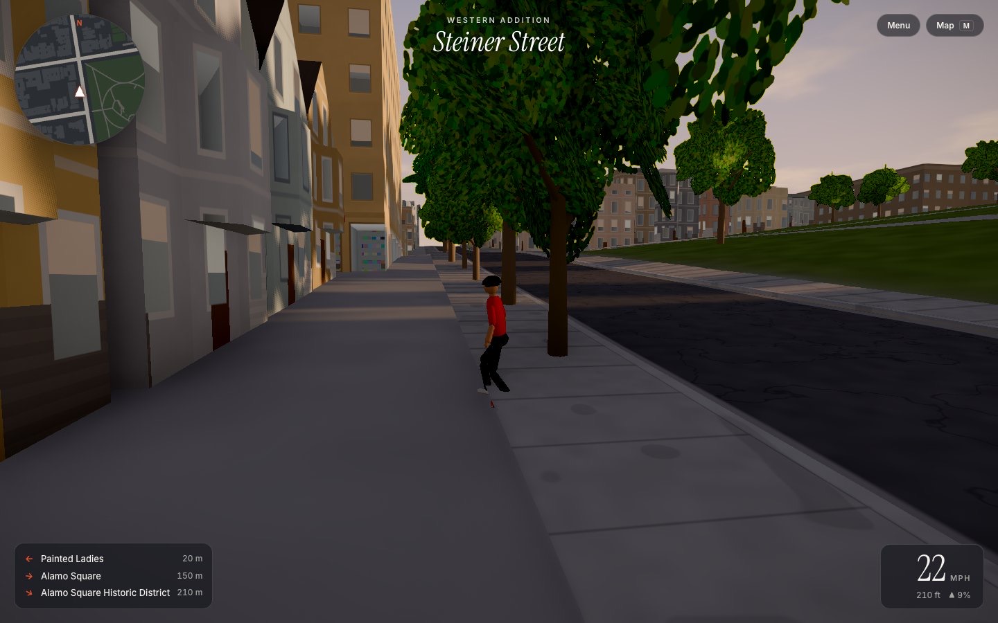
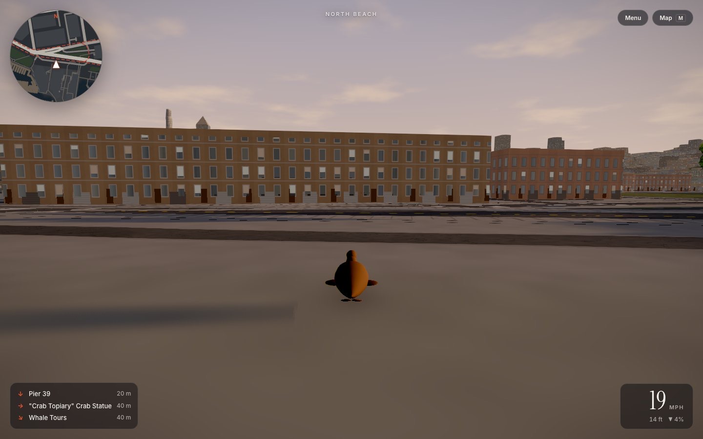
Controls
Drag with the mouse to look around your rider.
Weather and time
The sun follows its real path over the city for an October day. Press R to cycle the weather: clear, Karl the Fog, overcast, or rain that leaves the streets wet and shining.
A living city
You’re not alone out there. Cars drive the real street grid and stop at working traffic signals, people walk the sidewalks and step aside for you, and the city keeps moving while you ride.
Under the hood
How it’s made
No hand-built levels. The city is generated from public data and rendered live in your browser with three.js.
-
The map
Overpass API → OpenStreetMap ways → map.json
A build script pulls buildings with their heights and levels, roads and their widths, parks, piers, rail lines, street trees, traffic signals, crossings, lamps and points of interest for the northeast of the city, then flattens it all into a compact file of about 40,000 building footprints and 17,600 road segments.
-
The ground
AWS Terrain Tiles (USGS 3DEP) → height field
Elevation tiles are stitched into a height field so every street climbs and drops exactly as it does in real life. Buildings sit on the slope, roads drape over it, and your speed responds to the grade.
-
The buildings
footprint + height → procedural facades
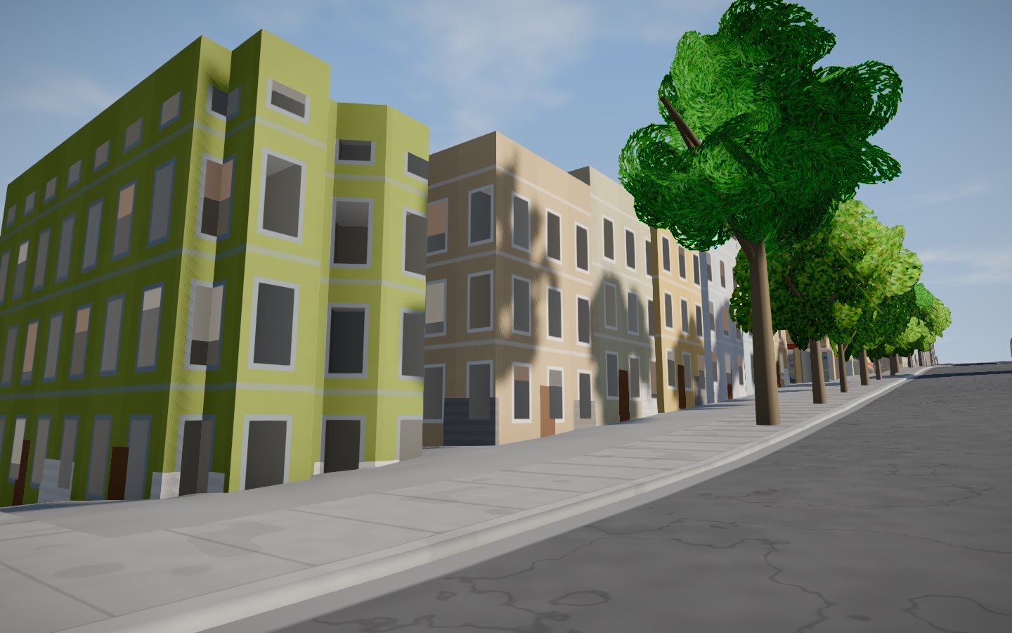
Footprints are extruded and dressed in procedural facades: floors, window bays, shopfronts and curtain-wall glass, with angled bay windows and bracketed cornices on the row houses. Windows use interior mapping, a shader trick that fakes a real room behind each pane, so the city looks inhabited from any angle.
-
The light
three.js → cinematic renderer
Cascaded shadow maps keep shadows sharp up close and far away. N8AO adds ambient occlusion in the corners, bloom makes lights glow, AgX tone mapping keeps sunsets from clipping, and height fog gives the Bay its depth.
- three.js
- postprocessing
- N8AO
- Vite
- Vanilla JavaScript
- OpenStreetMap
- USGS 3DEP
Questions
Is it really free?
Yes. No ads, no account, no in-app purchases. It’s a hobby project.
Does it work on my phone?
It runs in any modern browser with WebGL 2. On phones and tablets you get an on-screen joystick and buttons, and a lighter graphics preset; a laptop or desktop shows the city at its most detailed.
How much of San Francisco is in it?
The northeast of the city: from SoMa and Mission Bay up through downtown, Chinatown, North Beach, Russian and Nob Hill, the Marina and the Presidio to the Golden Gate Bridge, plus Alcatraz out in the Bay.
My building looks wrong. Why?
Buildings come straight from OpenStreetMap. If a height or shape is off, the map probably says so too, and anyone can fix it on OpenStreetMap. The fix will show up the next time the city is rebuilt.
Is it accurate enough to plan a bike route?
Roughly: the hills and streets are real, but it’s a game, not a navigation app. Don’t ride the Embarcadero as a sea lion in real life.